
Dakota and More
Dakota is derived from the Sioux Indian word for "friend." The area of South Dakota is 77,047 sq mi (199,552 sq km), the State Bird is the ring-necked pheasant, State Flower is the pasqueflower, and the State Tree is the Black Hills spruce.

Did you know that South Dakota has two of the world's longest caves? Jewel Cave is the third longest cave in the world and Wind Cave is the fifth longest cave in the world. This size ranking changes periodically as cave exploration around the world is ongoing. Both of these caves reside in a limestone layer that is said to be millions of years old. That layer is called the Paha Sapa formation. Paha Sapa is a Lakota word that means hills of black or Black Hills. Did you known that there was an uplift from deep in the earth that pushed it's way though that limestone layer? That uplift was molten rock that formed granite. One of the granite formations is now the home of Mount Rushmore.
South Dakota is also the home of the Badlands and the world's only Corn Palace. The Badlands contain one of the worlds largest deposits of fossil remains.
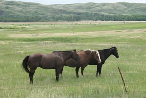 Horses by the Bad River above Fort Pierre
South Dakota is a place of discovery with scenery around every corner. The horses in the photo to the left are but one example. They were spotted next to the Bad River west of the inlet to the Missouri River.
The photo was taken in the summer of 2011 during the flooding on the Missouri. The Bad River had receded at this location west of Fort Pierre, South Dakota. Heavy rains throughout early summer keep the pastures and prairie land very green.
At the Oahe Dam and within the city of Pierre the affects of the flood are obvious. Sandbags create a peculiar site as you drive around Pierre and Fort Pierre.


I pledge loyalty and support to the flag and State of South Dakota, land of sunshine, land of infinite variety.
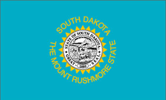 South Dakota State Flag
Our state flag and seal are symbols of the proud heritage we as South Dakotans are privileged to enjoy.
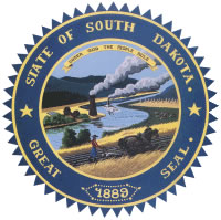 State Seal